Box of Light is made possible thanks to these visionaries:



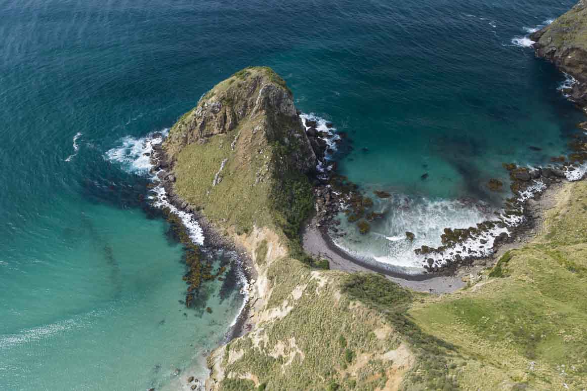
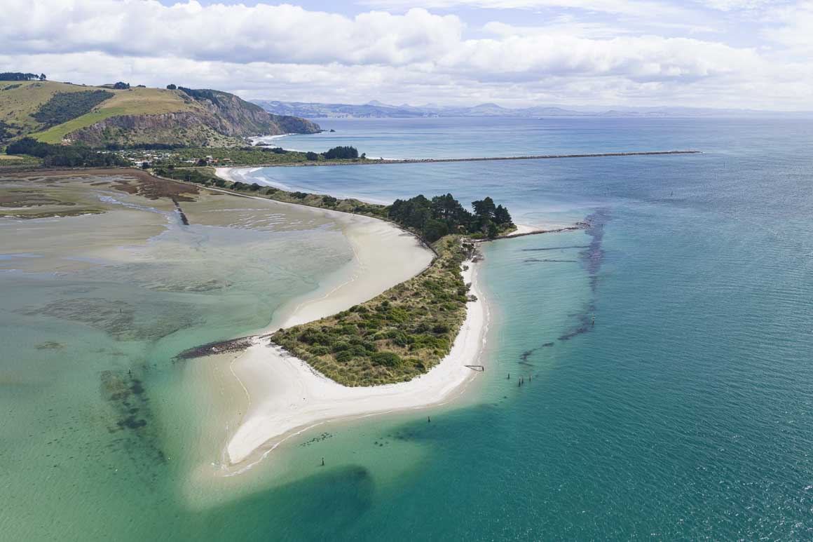
There is something very different about the weather system that is delivering this latest east swell to the Otago Coastline. I'm not talking about the amount of havoc it has wreaked across the North Island either. This storm has crossed the country then hugged the east coast, before tracking directly south towards the east coast of the South Island.
Usually, a storm like this will spin off the East Cape and wander away, slowly dissipating its energy as it goes. Instead, this southerly trajectory had one buoy off Canterbury peaking at a wave height of 10m around midday yesterday. In Otago, we were expecting the swell to peak last night around midnight, but really any modelling would have to factor in the fact that this weather scenario is very uncommon. Usually, these less predictable weather events result in patchy forecasting. Who knows what we have incoming?
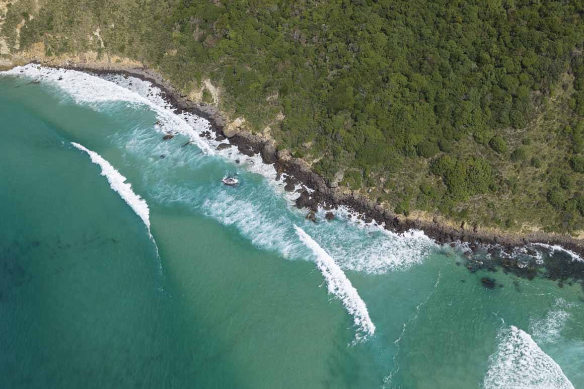
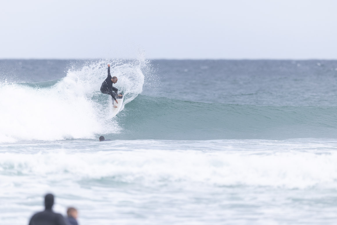
By the time you read this – I'll have a gauge on the swell as I scour our coastline looking for the best surf conditions. Potentially, there are so many options that could be all-time. That actually makes it harder for me – I always feel like maybe the next bay over is way better than the one right in front of me. I did exactly that in Cyclone Gabrielle – and missed the session of the decade.
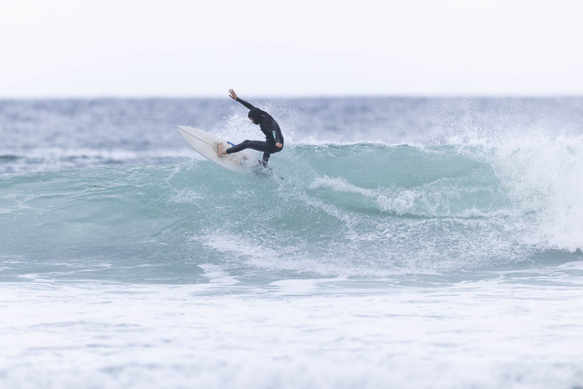
One thing is for sure, after a summer of average surf conditions, every surfer in Otago will be grinning today.
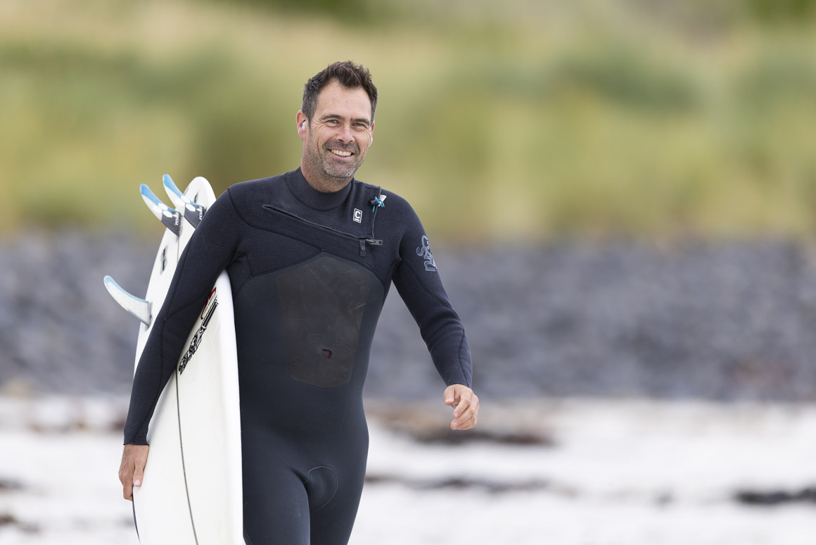
See you at the beach, Derek
PS I'm back into the world of motocross for the next few weeks as I continue my work with the 2026 New Zealand Motocross Championships, which take place in Tauranga and Rotorua on Saturday 21 and 28. I've had a heap of great feedback on a film I made with Motorcycling New Zealand, which showcases a group of riders in the MX2 class. Check out that MX2: Young Guns vs Cody Cooper film right here. See you trackside ...


Box of Light is made possible thanks to these visionaries: